Villingadalsfjall
What people say
Nally Preseault
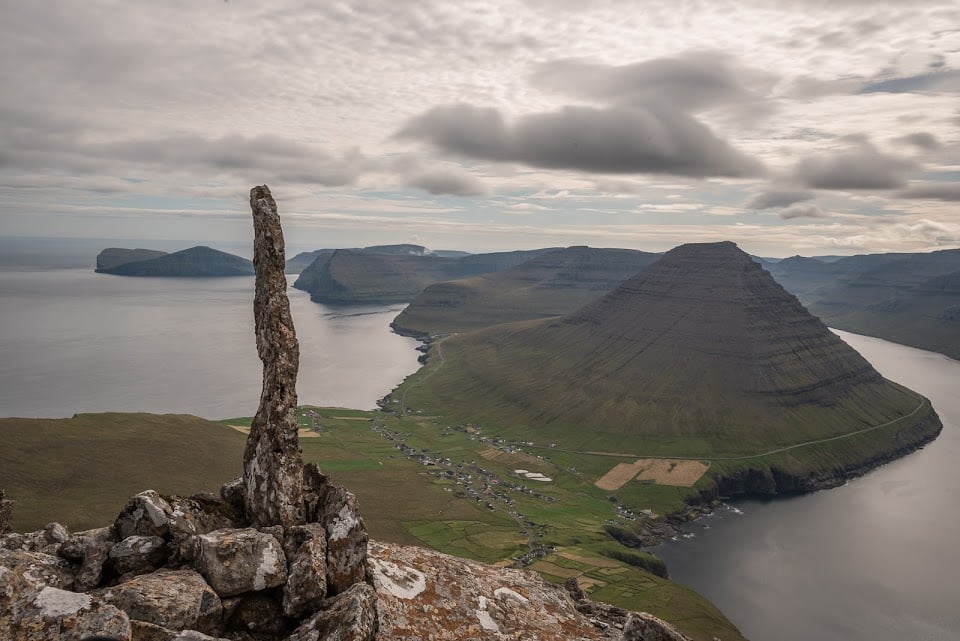
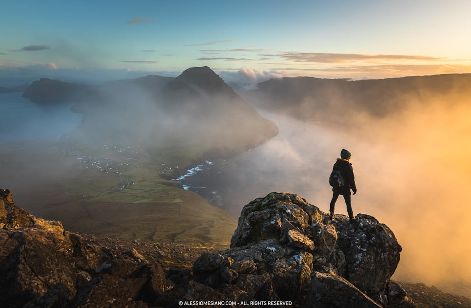
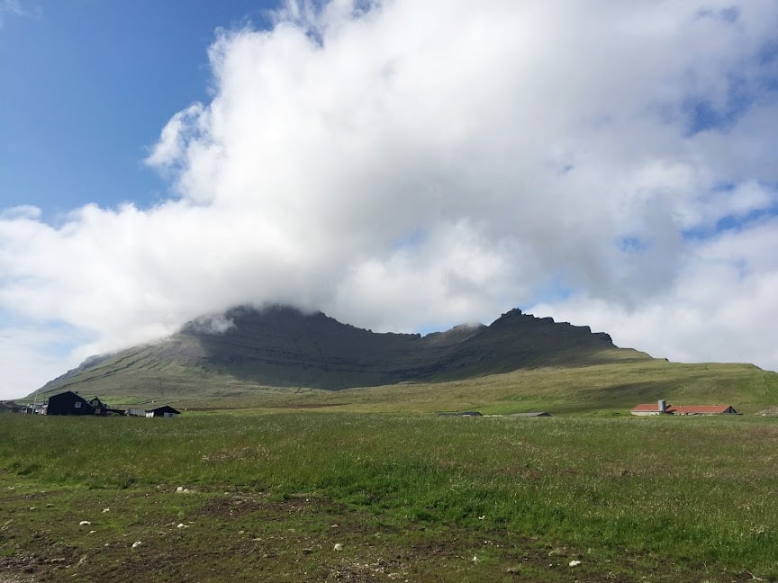
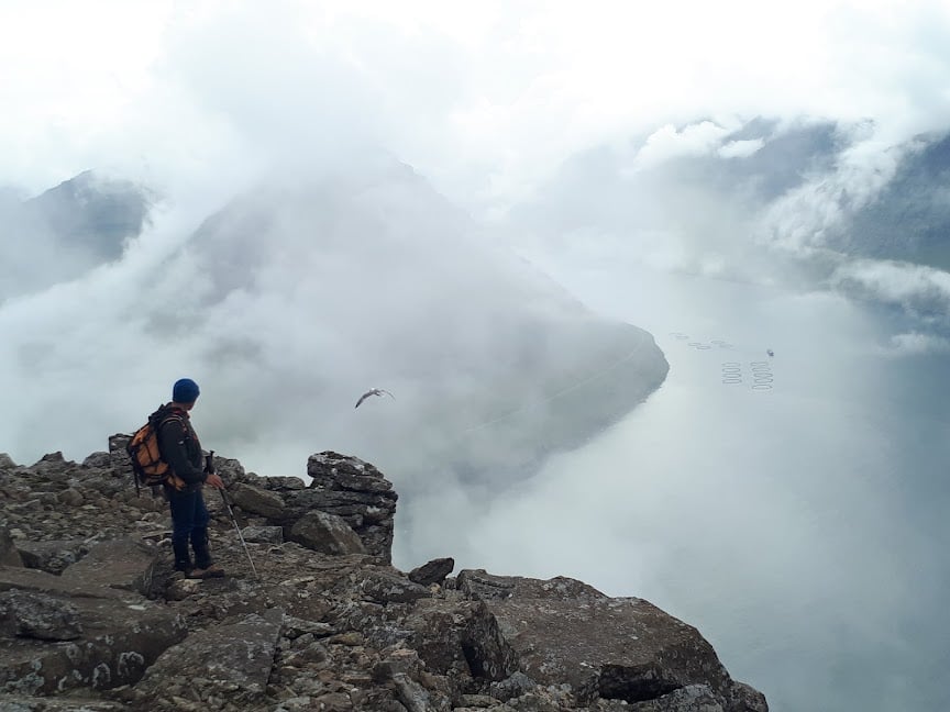
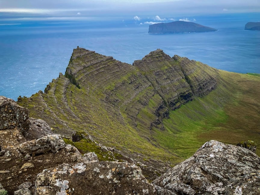
"You’re on top of the world. That’s what it feels like, at least. You’re standing near the tip of Villingardalsfjall, the Faroe Islands’ third-highest peak. Steep cliffs drop down one side. Loose rocks and a muddy trail tumble down the other. The trail is lined with plastic blue tubes that act as guides. They appeared just after the gate and the stone wall along the grassy slope.
But back to that view. Viðareiði, the northernmost town in the Faroes, lies below you. The steep cliffs are Cape Enniberg, one of the highest promontories in the world. Other islands—Fugloy, Svínoy, and Borðoy—are in the distance. While the rough North Atlantic Ocean extends as far as the eye can see.
Villingardalsfjall was obviously worth the hike. It’s a six-kilometer, round-trip hike that usually takes three to four hours to complete. That’s with perfect weather. The weather is rarely perfect here. Fog, rain, and even snow can quickly overpower what started out as a sunny day. The temperature can drop instantly. The wind can make you unsteady on the already rugged, treeless path. Visibility can decrease to just feet or inches in front of you. Then it can clear just as quickly. Your reward: the best view on all of the Faroe Islands. "
Read more in:
Mentioned in these guides


About Villingadalsfjall
Get the inside scoop on Villingadalsfjall from local experts, travel creators, and tastemakers. Browse genuine trip notes, Villingadalsfjall reviews, photos, travel guides, and itineraries from real travelers and plan your trip with confidence.

Save this spot for later or start mapping out a new trip today
Try our AI Travel Assistant and get instant answers to any questions about your trip.
Ask ThatchGPT