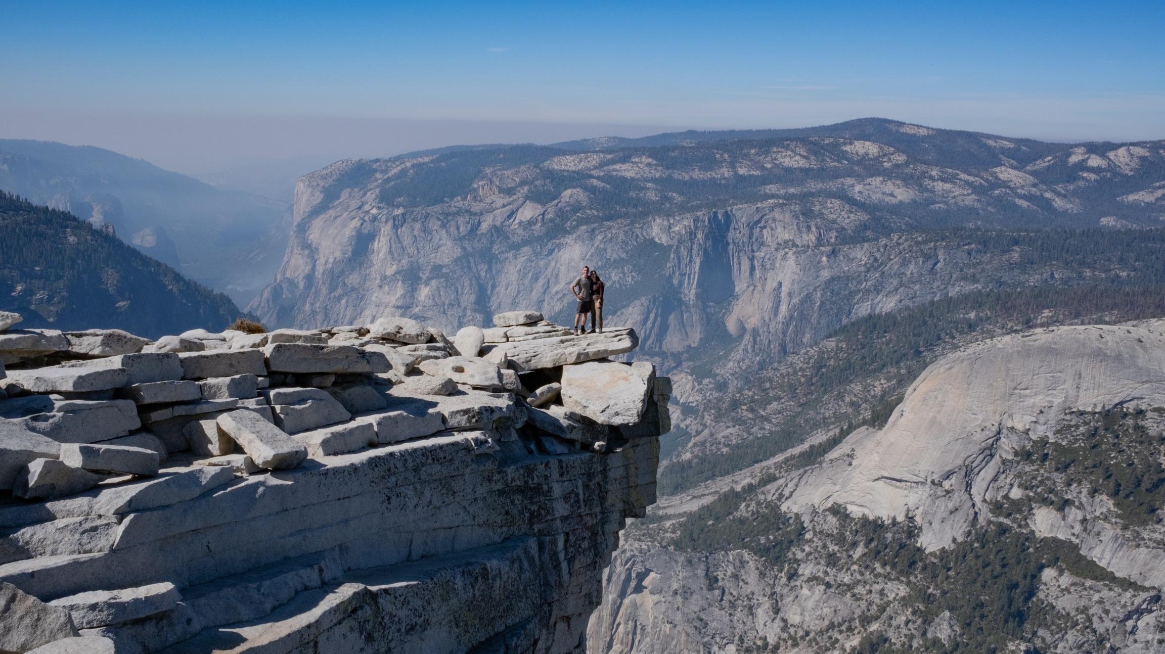
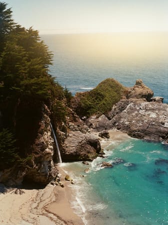
Lassen Volcanic National Park is one of California's more underrated national parks. Lassen is home to spectacular hydrothermal features, stunning mountain lakes, wildflower filled meadows, and of course volcanos. Located in northeastern California at the crossroads of the Cascade and Sierra Nevada Mountain Ranges, Lassen is subject to high snowfall in the winter, making late spring through early fall the best time of year to visit.
This map highlights the best stops along Lassen Volcanic National Park Highway, the main road through the park, from South to North. The entire route is about 30 miles, and without stopping the entire route takes about an hour to complete.
Also included are a few stops at the Butte Lake entrance, however to get here you must drive along 6 miles of unpaved road.
This map also details some of the best and more popular hikes in Lassen.


