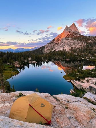
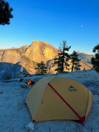
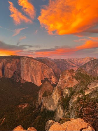
This 3-day backpacking trip to the Eagle Tower loop in Yosemite National Park promises an unforgettable adventure. This route offers a unique experience "Off-Trail". Navigating by map/GPS, you will discover this hidden gem and secret vista that is inaccessible to most visitors in the park. This Off-Trail exploration will allow you to create your own adventure and make a deeper connection with Yosemite's wilderness.
OVERVIEW:
Distance: 19.64 miles/ 31.6 Km
Elevation Gain: 4833 Ft/ 1473 meters
Duration: 3 days (2 nights)
Difficulty: Challenging
HIGHLIGHTS:
Upper Yosemite Falls
Eagle Tower
GUIDE CONTENTS:
1- ROUTE ITINERARY:
Day 1: Arriving
Day 2: Eagle Tower
Day 3: Coming Back
2- CAMPSITES:
Specific campsites
Suggestions camping spots
3- PERMITS AND REGULATIONS:
Information on obtaining permits
Guidelines for wild camping
Bear safety regulations
4- LOGISTICS:
Transportation within the park
Recommended gear list
5- ADDITIONAL RESOURCES:
GPX-tracks of the route
Custom Google Maps with all the important locations, such as my campsites, grocery stores, water sources, trails, public transport stops, viewpoints, and more
Alltrails activity link
Trail conditions
Backpacker • Camping • Outdoors • Photography
$5.00
9
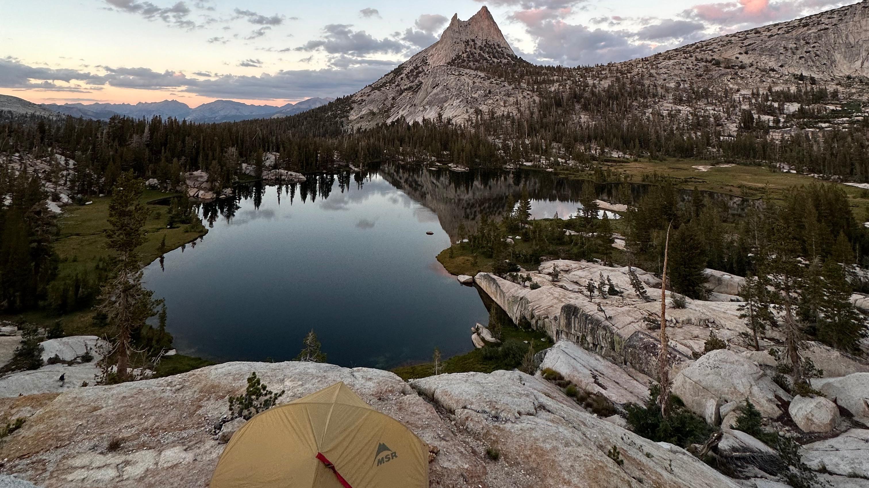
This is one of the most beautiful backpacking trails and my personal favorite in Yosemite National Park. It starts at Cathedral Lakes Trailhead, passing by Cathedral Lakes, Clouds Rest, Half Dome, and finishes in Yosemite Valley. Additionally, the trail passes by stunning lakes, cascading waterfalls, and breathtaking vistas.
Embarking on this trail offers a unique and unforgettable experience.
OVERVIEW:
-Distance: 31 miles/49.8 km
-Elevation Gain: 5750 ft/1750 meters
-Duration: 5 days (4 nights)
-Difficulty: Challenging
HIGHLIGHTS:
-Cathedral Lakes
-Clouds Rest
-Half Dome
GUIDE CONTENTS:
1- ROUTE ITINERARY:
-Day 1: Arriving
-Day 2: Cathedral Lakes
-Day 3: Clouds Rest
-Day 4: Half Dome
-Day 5: Coming Back
2- CAMPSITES:
-Specific campsites
-Suggestions camping spots
3- PERMITS AND REGULATIONS:
-Information on obtaining permits
-Guidelines for wild camping
-Bear safety regulations
4- LOGISTICS:
-Transportation within the park
-Recommended gear list
5- ADDITIONAL RESOURCES:
-GPX-tracks of the route
-Custom Google Maps with all the important locations, such as my campsites, grocery stores, water sources, trails, public transport stops, viewpoints, and more
-Alltrails activity link
-Trail conditions
Backpacker • Camping • Outdoors • Photography
$5.00
5
This 4-day backpacking loop in Yosemite National Park is absolutely extraordinary. It will take you along some of the most beautiful views of Yosemite Valley. Hiking up the stunning Yosemite Falls, to the top of El Capitan, and then traversing back to North Dome make this route challenging, but the gorgeous views make the effort worthwhile.
OVERVIEW:
-Distance: 35.6 miles / 57.2 km
-Elevation Gain: 8,848 ft / 2,696 meters
-Duration: 4 days (3 nights)
-Difficulty: Challenging
HIGHLIGHTS:
-Yosemite Falls
-Summit of El Capitan
-North Dome
-Ancient forests
-Waterfalls and water holes
-Breathtaking valley vistas
GUIDE CONTENTS:
1- ROUTE ITINERARY:
-Day 1: Arriving
-Day 2: El Capitan
-Day 3: Traverse to North Dome
-Day 4: Coming Back
2- CAMPSITES:
-Specific campsites
-Suggestions camping spots
3- PERMITS AND REGULATIONS:
-Information on obtaining permits
-Guidelines for wild camping
-Bear safety regulations
4- LOGISTICS:
-Transportation within the park
-Recommended gear list
5- ADDITIONAL RESOURCES:
-GPX-tracks of the route
-Custom Google Maps with all the important locations, such as my campsites, grocery stores, water sources, trails, public transport stops, viewpoints, and more
-Alltrails activity link
-Trail conditions
Backpacker • Camping • Outdoors • Photography
$5.00
4
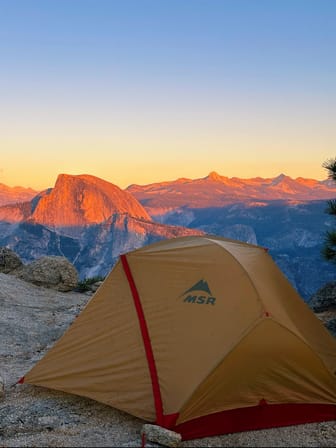
This 4-day backpacking loop in Yosemite National Park is an unique experience and one of the best trails with view point in the park. It starts at Four Mile Trail, passing by Glacier Point, Taft Point, Dewey Point, Crocker Point, Stanford Point, Inspiration Point and finishes in Yosemite Valley. All this points are a few of the most unique views in Yosemite Valley. Including my personal favorite view Crocker Point.
OVERVIEW:
Distance: 23.5 miles/ 37.8 Km
Elevation Gain: 5856 Ft/ 1784 meters
Duration: 4 days (3 nights)
Difficulty: Challenging
HIGHLIGHTS:
Glacier Point
Taft Point
Dewey Point
Crocker Point
Stanford Point
Inspiration Point
GUIDE CONTENTS:
1- ROUTE ITINERARY:
Day 1: Arriving
Day 2: Four-Mile Trail
Day 3: Crocker Point
Day 4: Coming Back
2- CAMPSITES:
Specific campsites
Suggestions camping spots
3- PERMITS AND REGULATIONS:
Information on obtaining permits
Guidelines for wild camping
Bear safety regulations
4- LOGISTICS:
Transportation within the park
Recommended gear list
5- ADDITIONAL RESOURCES:
GPX-tracks of the route
Custom Google Maps with all the important locations, such as my campsites, grocery stores, water sources, trails, public transport stops, viewpoints, and more
Alltrails activity link
Trail conditions
Backpacker • Camping • Outdoors • Photography
$5.00
1
TheAdventurer Guy
4 Subscribers
Antioch, CA, USA
Identity Verified
DESTINATIONS
FOCUSES & SPECIALTIES
LANGUAGES
Spanish
English