Landmannalaugar
Ask ThatchGPT
Suggest a local expert to plan my trip
Suggest an unique itinerary for my Iceland trip
What foods do Iceland locals eat
What are some true hidden gems in Iceland
Help me brainstorm trip ideas for Iceland
Help me plan a family-friendly trip to Iceland
What people say
Joey Helms
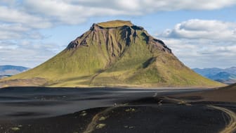
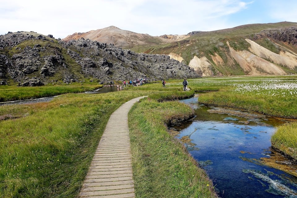
"This is THE highlands destination most locals and visitors go to as it offers endless hiking trails, a diverse terrain (colourful mountains, lava fields, geothermal hotspots), and a big campground with a natural hot spring. Many tours are operated to this location so it certainly can get busy in the summer months. The easiest way to get there is from the North on F208 on a VERY bumpy gravel road. There are no river crossings up until Landmannalaugar, but if you want to get your car to the campground you need to cross a deep-ish river or just park at the parking lot before and cross the pedestrian bridge.
PHOTO TIPS
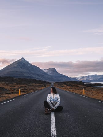
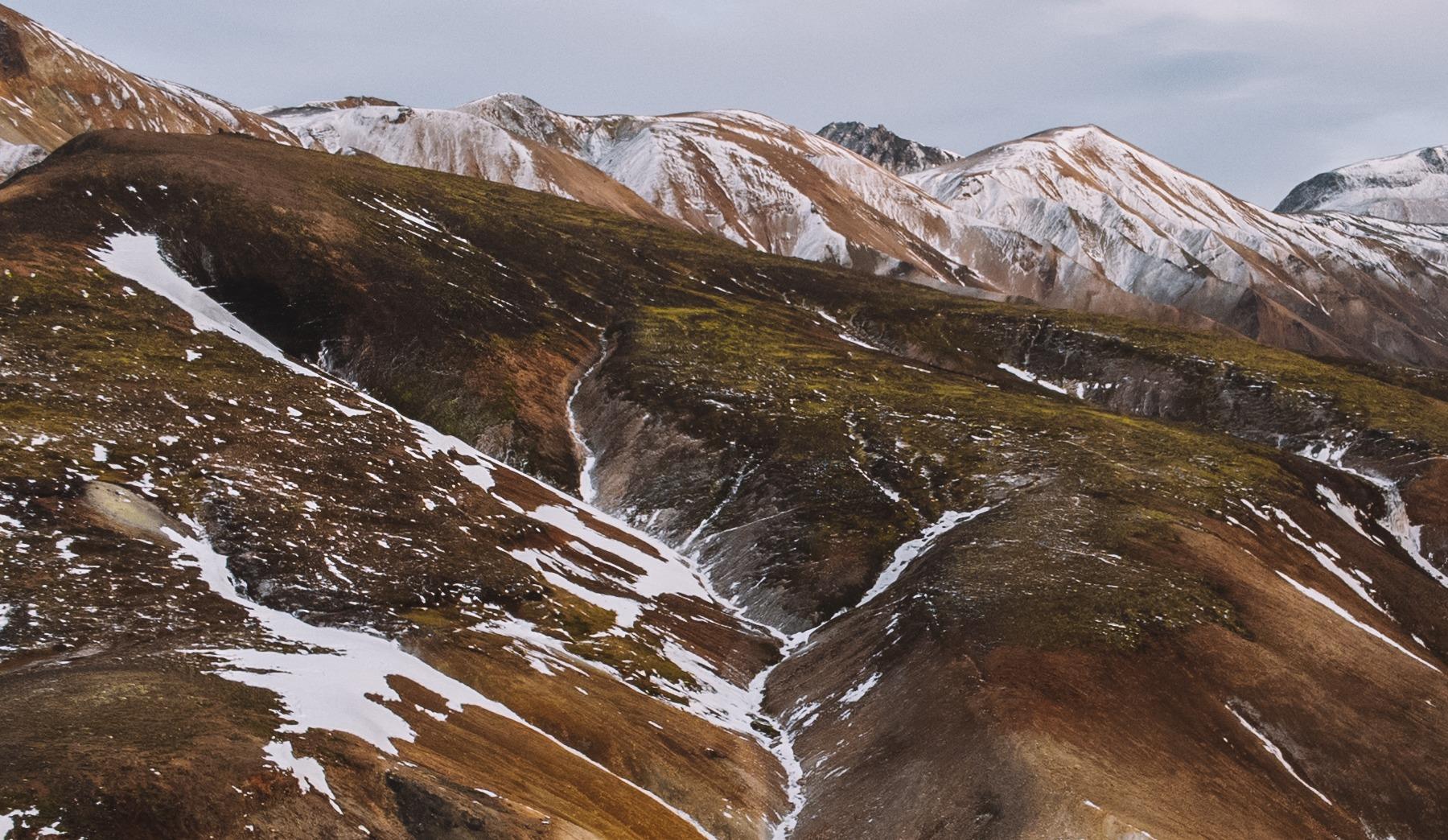
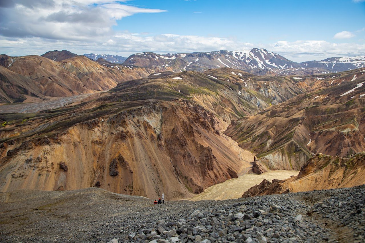
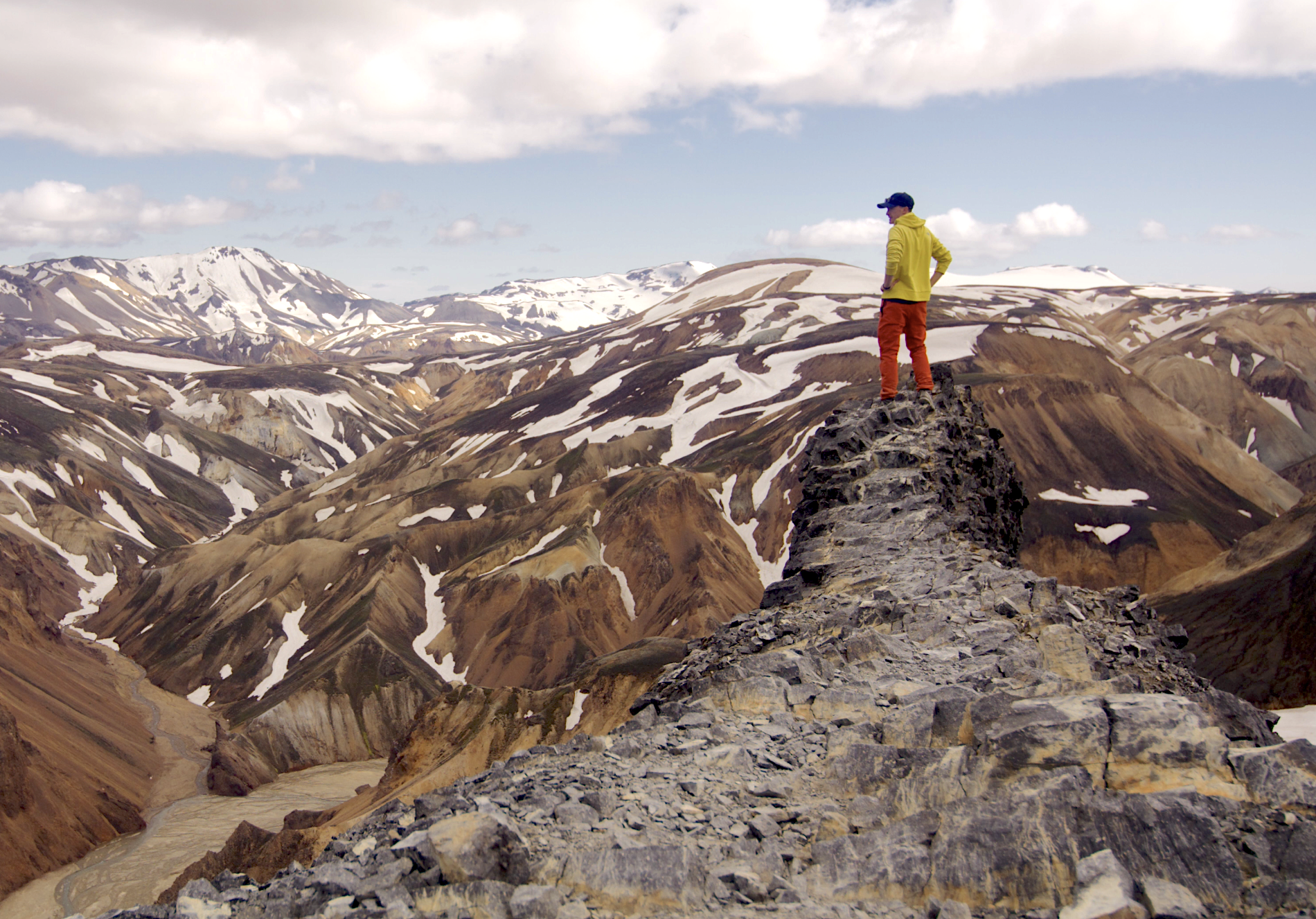
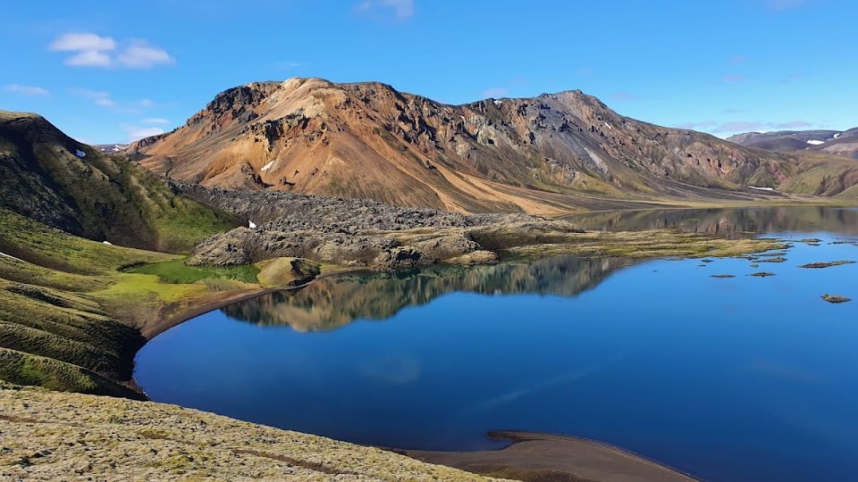
There are multiple hikes you can take from the campground. To capture the variety of landscape of Landmannalaugar and hit most of the iconic spots I recommend hiking up Bláhnjúkur first (this is the mountain you are facing when looking south from the camp ground and it will provide you with a spectacular high point to shoot in all directions. Make sure to bring a variety of lenses as you want shoot both wide angle and also closer, more condensed shots of the colourful hills. As you descend from Bláhnjúkur on the West side you continue towards a smaller geothermal hot spot and very colourful hills. Note that you will have to walk through a river to continue the round trip to the campground that way. The last part of that hike ends in a massive lava field (that you were able to already capture from the top of Bláhnjúkur) and it is easy to get lost in it with many little trails weaving through it. Truly an adventure and a great location to capture portraits or fashion. "
Read more in:
Dan Landa
Available for hire
"Diving into the incredible world of Landmannalaugar, a slice of heaven tucked away in Iceland's untamed wilderness.
Imagine a place where nature's hot tubs are surrounded by surreal landscapes, painting a picture of raw, untamed beauty. That's what Landmannalaugar is all about. These natural hot springs, translated from Icelandic called the "People's Pools," are like Mother Nature's spa day.
But what really sets this place apart is the epic hiking. The famous Laugavegur Trail starts or ends here, taking you on a multi-day journey through some of Iceland's most stunning landscapes. Think black deserts, colorful mountains, and lush valleys – a hiker's paradise!"
Mirela Ćenanović
"Landmannalaugar, or the "People's Pools," is a vast area of stunning and unique beauty in the heart of Iceland's southern Highlands. There are multiple hiking trails which you can find online and decide which one suits you the best based on your physical condition.
After the hike you can hop in and relax in a hot spring! And the best thing about it - it is free!
You can drive to Landmannalaugar during summer, but that requires you to rent a four-wheel drive vehicle. Before going please visit official online sites about road conditions!
NOTE - parking reservation required between 8 AM and 3 PM."
Read more in:
Mentioned in these guides
About Landmannalaugar
Get the inside scoop on Landmannalaugar from local experts, travel creators, and tastemakers. Browse genuine trip notes, Landmannalaugar reviews, photos, travel guides, and itineraries from real travelers and plan your trip with confidence.
Address
Save this spot for later or start mapping out a new trip today
Try our AI Travel Assistant and get instant answers to any questions about your trip.
Ask ThatchGPT

