Lavender Trail

Ask ThatchGPT
Suggest a local expert to plan my trip
Suggest an unique itinerary for my France trip
What foods do France locals eat
What are some true hidden gems in France
Help me brainstorm trip ideas for France
Help me plan a family-friendly trip to France
What people say
Annie Kattapuram
Available for hire
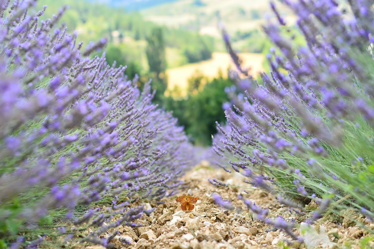
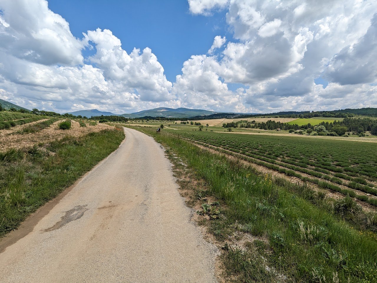
"This Lavender Trail takes you around the scenery of Sault, past fields of lavender and wheat. The entire walk is 5.3kms and will take 1.5 to 2 hours. The route takes you to Les Michouilles then onto Chemin de la Grange Neuve, towards Chemin du Ventouret and over to Chemin des Fontaines.
There are a number of shady spots along the way if you want to stop for a picnic. The walk is fairly flat so you can take a stroller along, and of course, it is dog friendly.
Parking: After you leave Sault head towards Les Michouilles. About 1.3km later, there is a fork on the road and a parking area on the right side. "
Mentioned in these guides

About Lavender Trail
Get the inside scoop on Lavender Trail from local experts, travel creators, and tastemakers. Browse genuine trip notes, Lavender Trail reviews, photos, travel guides, and itineraries from real travelers and plan your trip with confidence.
Address

Save this spot for later or start mapping out a new trip today
Try our AI Travel Assistant and get instant answers to any questions about your trip.
Ask ThatchGPT