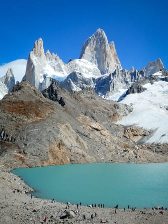
Laguna de los Tres/Fitz Roy

Ask ThatchGPT
Suggest a local expert to plan my trip
Suggest an unique itinerary for my El Chaltén trip
What foods do El Chaltén locals eat
What are some true hidden gems in El Chaltén
Help me brainstorm trip ideas for El Chaltén
Help me plan a family-friendly trip to El Chaltén
What people say
Elizabeth Rickert
Available for hire
"Distance: 25km
Time: 8-9 hours
Difficulty: Moderate
Elevation gain: 770 meters (2,300 feet)
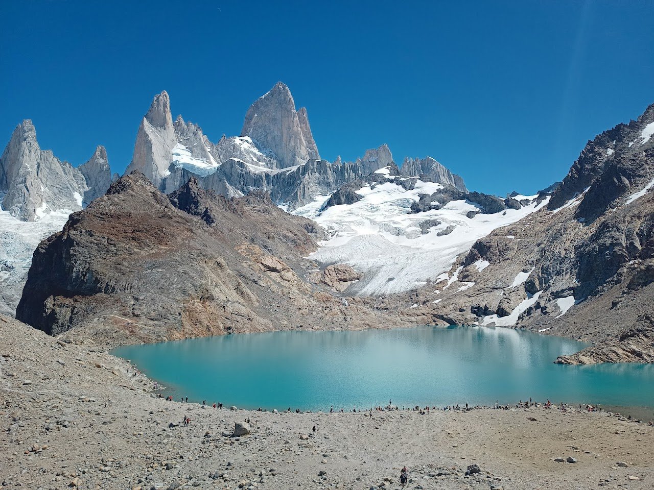
The Laguna de los Tres hike to the foot of Mount Fitz Roy is the most iconic hike in Argentina. If you only have time for one hike this is the one to do.
The trailhead is at the end of the Avenida San Martin. There is a faucet with potable water here to fill your bottle.
It's the toughest day hike in El Chalten, with an hour of ascent into the mountains. After an hour you have a panoramic view of the Rio de las Vueltas valley below (look for the condors!).
From here you're out of the forest and exposed to the sun and wind so make sure to wear sunscreen.
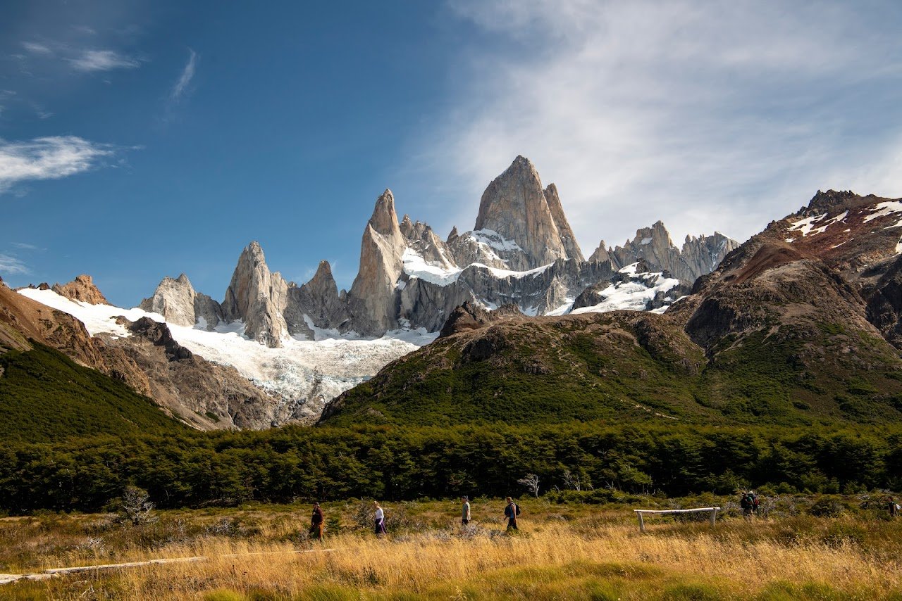
After another hour and a half, you'll reach a fork in the road for Laguna Capri to your left or Laguna de los Tres to your right. Ten minutes from here (in the direction towards Fitz Roy) there's another viewpoint with a sign marking all of the mountains before you.
If you're pressed for time you can take a lap around Laguna Capri and head back to town. This will avoid the toughest part of the hike while still having great views.
From here the hike takes you to the Poincenot Camp before ascending for the final (but toughest) 400 meters of the trail.
It takes about an hour to conquer that final 400 meters! The final 400-meter hurdle is why several people decide not to do this hike. If these 400-meters deter you I believe you should do the Laguna Capri hike to receive similar views without this tough portion.
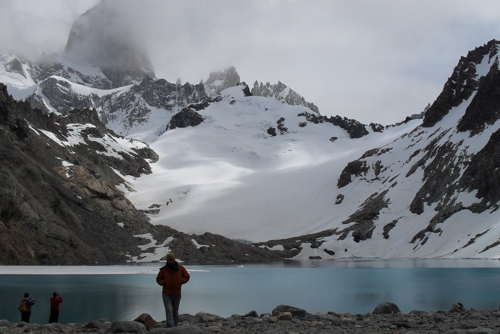
Once you've conquered these 400-meters, make sure to spend time at the top, enjoy your lunch at the laguna and its turquoise water. If you have time hike around the shore to reach the viewpoint for Laguna Sucia and its hanging glaciers.
There is a popular shortcut for this hike. It involves starting the hike at Hosteria Pilar 17km outside of El Chalten. this saves a few kilometers off the scent and also allows you to see a different trail up than you will down. People often take a taxi to Hosteria Pilar or the Rio Electrico bridge where you can take the trail to Piedra del Fraile to start and then walk back to town on the way out.
"
Read more in:
Leo Scarton
Available for hire
" Mount Fitz Roy, or Cerro Chaltén, is a 3405 meters mountain located to the east of the Southern Patagonian Ice Field on the border between Argentina and Chile. Despite its average height (less than half that of the giants of the Andes) the mountain has the reputation of being of "extreme difficulty": it presents enormous extensions of almost vertical, polished and slippery slabs on which winds of enormous force constantly beat, requiring maximum technical skill on the part of the climber. To reach Laguna de los Tres you will have to walk 23km to go and come back. There are campings along the way if you want to stay overnight before going back."
Read more in:
Sarah Geiger
Available for hire
"A turquoise glacier lake at the foot of Mt. Fitz Roy with the iconic views on the mountain. Just breathtaking and a must-see."
Mentioned in these guides
About Laguna de los Tres/Fitz Roy
Get the inside scoop on Laguna de los Tres/Fitz Roy from local experts, travel creators, and tastemakers. Browse genuine trip notes, Laguna de los Tres/Fitz Roy reviews, photos, travel guides, and itineraries from real travelers and plan your trip with confidence.
Save this spot for later or start mapping out a new trip today
Try our AI Travel Assistant and get instant answers to any questions about your trip.
Ask ThatchGPT

