FREE: Croatian NP Biokovo and Krka 🇭🇷
ABOUT NATURE PARK BIOKOVO:
Geology of Biokovo:
The geology of Biokovo cannot be observed solely within the boundaries of the Nature Park; it must be viewed comprehensively and complexly. Around 65 million years ago, during the late Cretaceous period, the African plate began to collide with the Eurasian plate. The narrowing of the oceanic space caused significant tectonic disturbances, folding, breaking, and uplifting horizontal layers above sea level, forming mountain ranges like the Alps and the Dinarides, of which Biokovo is a part. This process led to the disappearance of much of the ancient Tethys Ocean, leaving the present-day Mediterranean Sea.
Mountain Massif:
Biokovo is part of the Dinarides mountain massif and stretches in a northwest-southeast direction. The lower areas near the sea and on the opposite inland side consist predominantly of Eocene flysch deposits, while the higher parts are formed from Mesozoic carbonate sedimentary rocks. The foothills of central Biokovo are gently sloping plateaus, rising from the sea to about 300 meters, and are fertile and green due to their formation in flysch deposits.
Landscape Features:
Above this "green belt" rises the most impressive section of cliffs, reaching heights of about 1,000 meters, forming a facade that separates the Zagora region from the coastal area. Beyond these cliffs lies a region characterized by a rolling plateau, approximately 3-4 kilometers wide, with well-developed karst relief. This area gradually slopes towards the hinterland, offering a unique and rich geological landscape.
MAIN INFO:
🎟️Tickets: Online-only, €8.
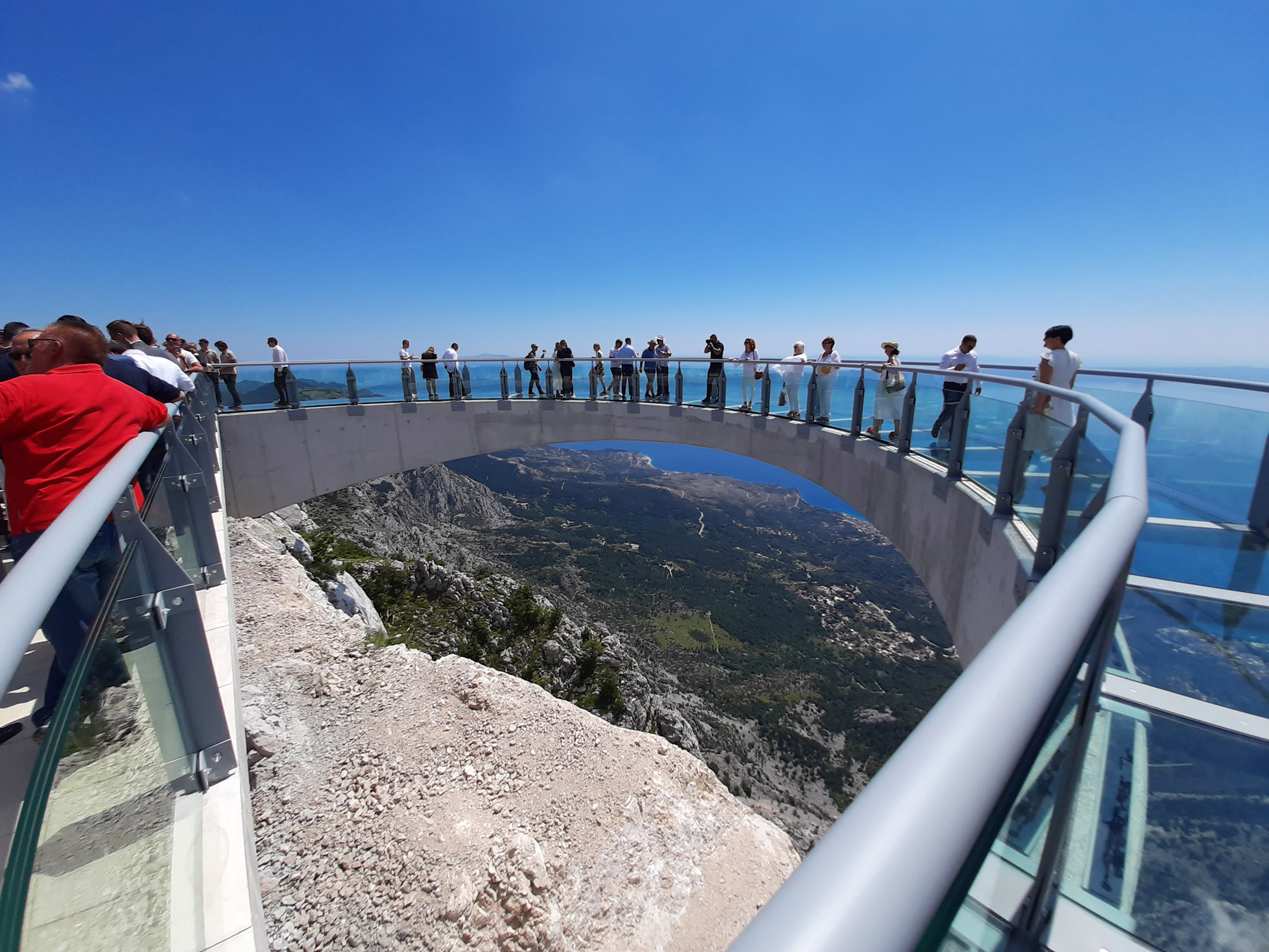
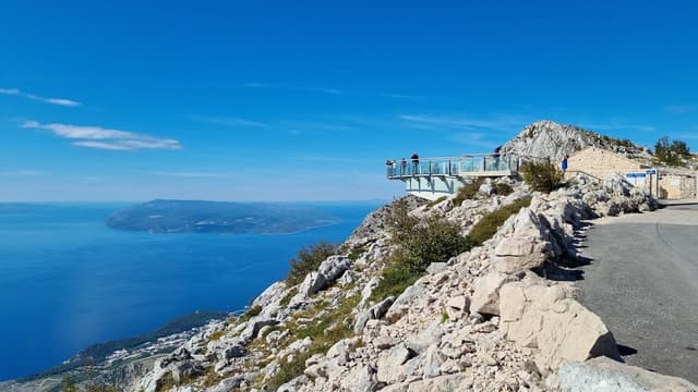
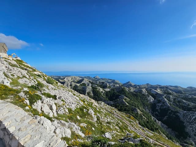
🕒 Entry in convoys every hour, all vehicles drive to Skywalk Biokovo first, visitors can stop and explore the Skywalk
🏞️Afterwards, they can either continue to the peak of Sv. Jure or return, park, and embark on one of the trails
This is where you buy tickets:
🚗 Alternative Travel Suggestions
If you have some extra time and prefer not to hike, consider visiting these fascinating locations by car:
Biokovo-Imotski Lakes Geopark
Recently recognized as a UNESCO Global Geopark, the Biokovo-Imotski Lakes Geopark boasts stunning landscapes between the Imotsko polje and the Biokovo Mountain range. This karst region features rolling hills, valleys, and rich water sources, including the Vrljika River, known as the "life-giver" due to its vital role in agriculture. The river was protected in 1971 as an ichthyological reserve.
Modro Jezero (Blue Lake)
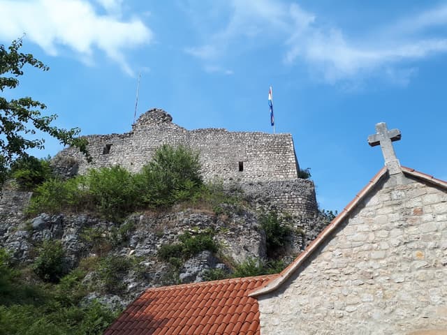
For a spectacular view, head to the Topana Fortress in Imotski for a free vantage point.
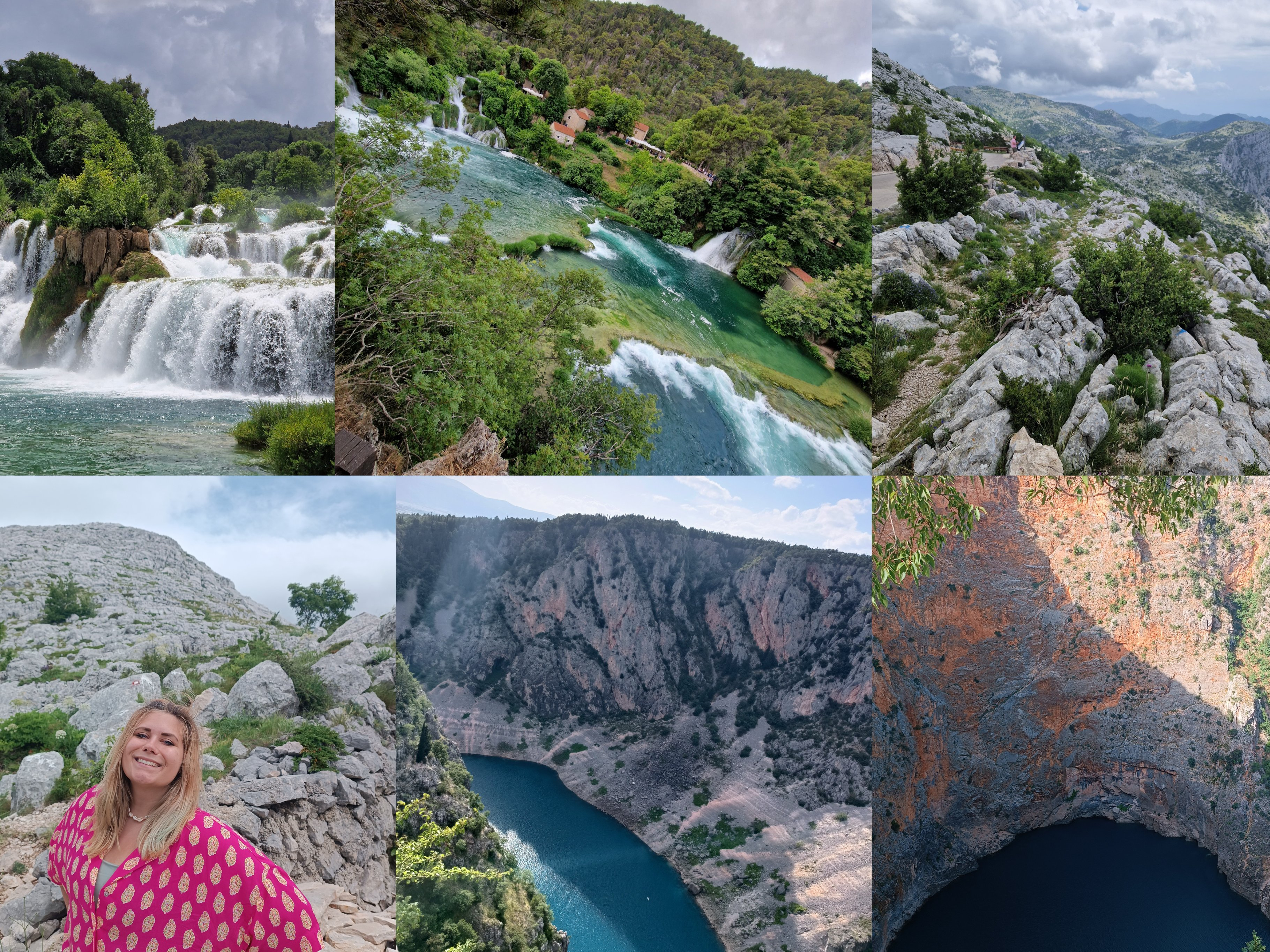
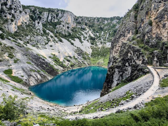
The lake, renowned for its striking blue color caused by underground springs, is kidney-shaped with depths ranging from 0 to 147 meters. Its water levels fluctuate significantly, often drying up after seismic activity in 1942. The lake is protected as a geomorphological natural monument, and a well-maintained path is available on the southern side.
Crveno Jezero (Red Lake)
Stop for a quick view along the road to admire Crveno Jezero, a massive sinkhole lake with depths reaching up to 287 meters.
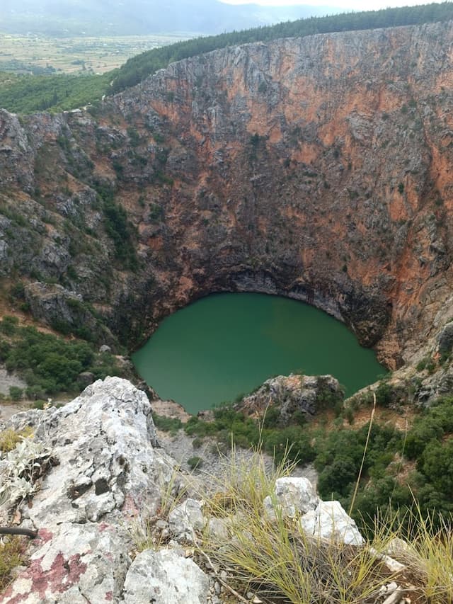
Known for its deep red hue and stable water levels, the lake is home to the endemic Imotski gaovica fish. Since 1964, it has been protected as a geomorphological natural monument, offering one of the most impressive karst formations in the Dinaric region.
Cetina River Source
Be cautious when locating the source of the Cetina River; search for "Eye of Croatia" instead of relying solely on Google Maps.
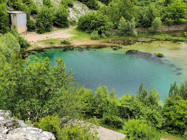
Originating from the slopes of Dinara Mountain near Cetina village, the river flows 101 kilometers to the Adriatic Sea. It passes through Peruća Lake, Sinj, Trilj, and Mosor mountain before reaching the Adriatic at Omiš. This picturesque journey highlights the river’s diverse landscape and geological significance.
ABOUT NP KRKA:
Krka River Overview
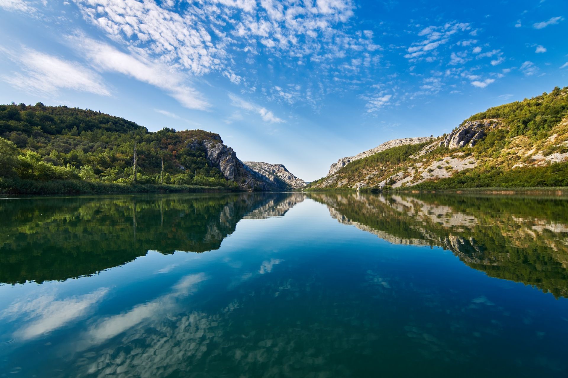
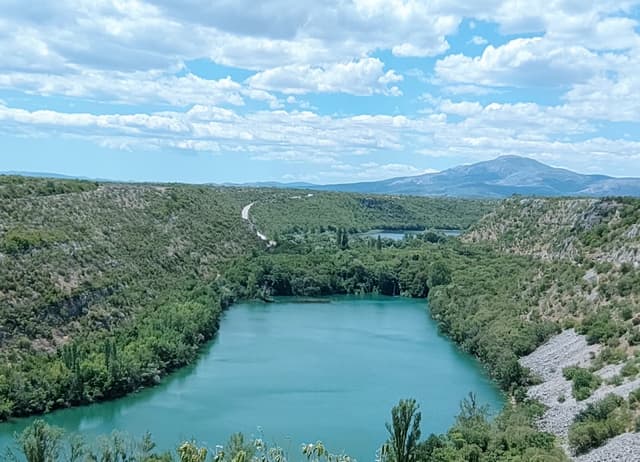
The Krka River, located in Šibenik-Knin County, is part of the eastern side of the Adriatic Sea. It originates near Topolja town, at the foot of the Dinara Mountain. This region is part of the External Dinarides, characterized mainly by karst geology formed from Jurassic, Upper Cretaceous, and Eocene limestones. The evolution of this karstic river is linked to the Holocene transgression, occurring approximately 30,000 to 16,000 years ago. Karst refers to soluble carbonate rock, formed through a process known as karstification.
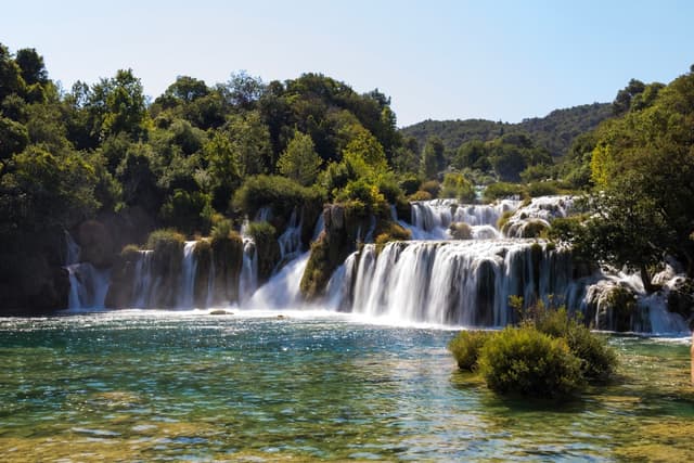
Karst Features and Formation
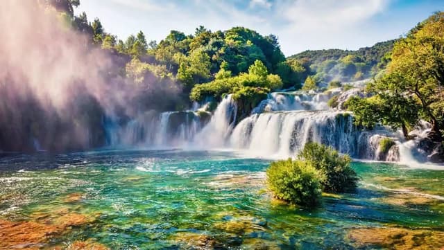
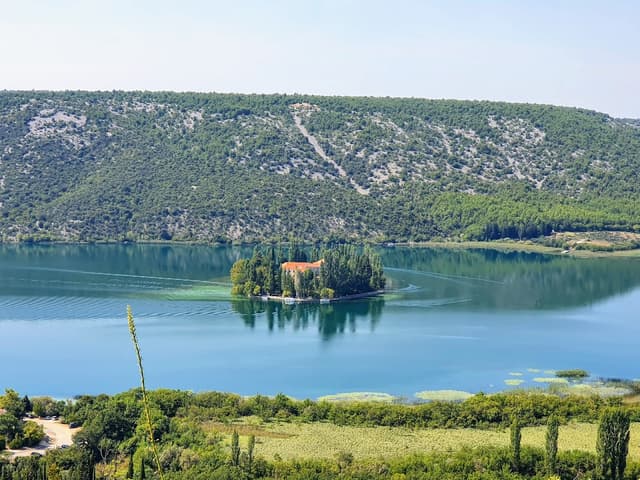
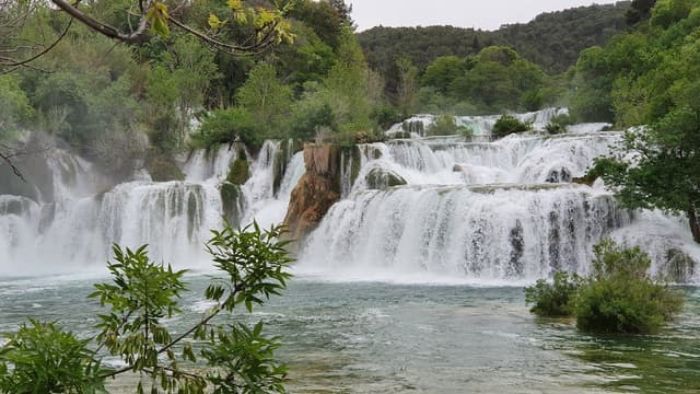
Karst is distinguished by its porosity, containing numerous fissures of varying shapes and sizes, created by the dissolution resulting from chemical weathering. These fissures play a crucial role in karst drainage systems. The Krka River begins below the tufa barrier of the Krčić tributary. It flows through Krka National Park, which spans 109 square kilometers, and features Lake Brljan, Visovac, and seven tufa barriers. The most notable of these barriers is Skradinski buk, which stands 46 meters high.
Course of the Krka River
Skradinski buk marks the start of a 24-kilometer-long estuary that flows towards Prokljan Lake, eventually discharging into the Adriatic Sea at the Šibenik harbor. Tufa, a type of sedimentary rock, is formed by the precipitation of carbonate minerals from water supersaturated with calcium carbonate. This occurs under specific conditions: alkaline pH, low dissolved organic matter, warm temperatures, and moderate water flow.
Significance of Tufa
Tufa is significant because it creates microhabitats of exceptional biological and geological importance. The tufa barriers and karstified ridges in the region are now submerged geomorphic features that have influenced the palaeoenvironmental development of the area. The presence of tufa and karst formations highlights the unique geological and ecological landscape of the Krka River, contributing to its status as a natural wonder within the Adriatic region.
MAIN INFO:
🌟 Best Entrance:
For closer access to Skradinski buk, enter via Lozovac.
🎟️ Tickets:
Purchase online; student tickets are €15, and adult tickets are €40.
🗺️ Entrance Points:
There are multiple entry points; check your ticket for details on which attractions are accessible from each entrance.
🚗 Travel:
It’s best to drive. For Visovac Lake and Roški slap, drive for about 30 minutes and park at the designated entrance.
🥾 Hiking:
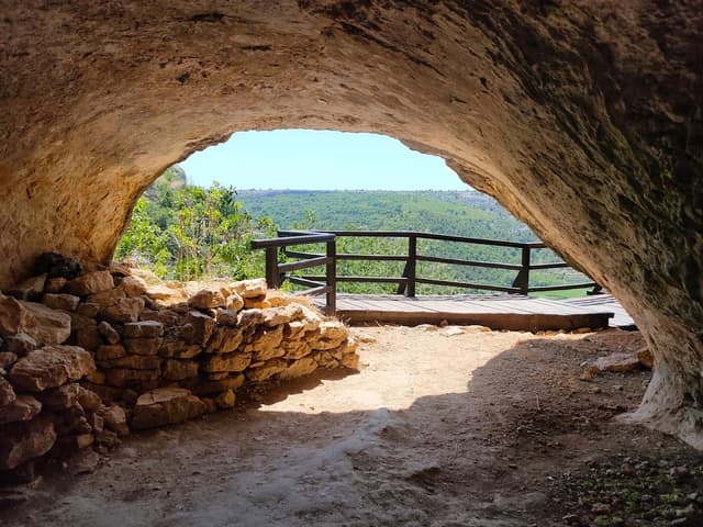
Around the Roški slap entrance, you’ll find several hiking trails. Explore the cascading waterfalls and visit Oziđana pećina, a cave with a unique morphology located at the top of the Krka River canyon. The cave is 59 meters long, with a channel 5 to 10 meters wide and two nearly vertical shafts.
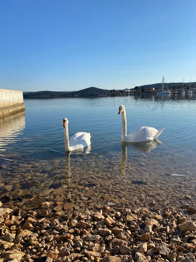
Prokljan Lake-Take a bath in the estuary
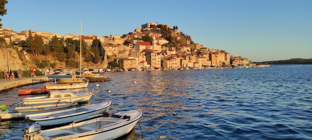
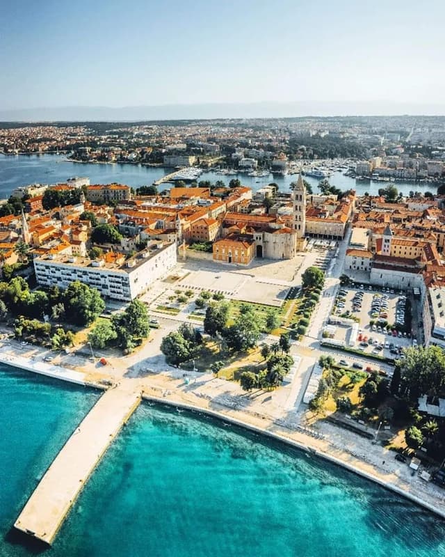
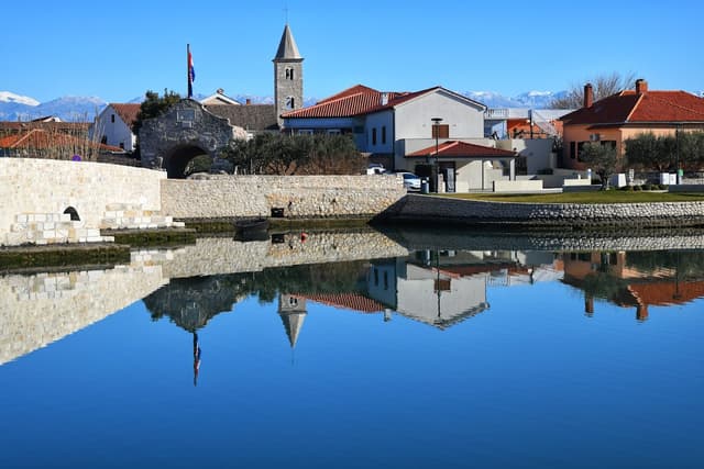
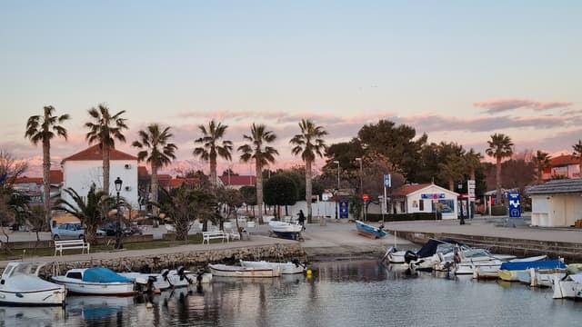
Finish your tour to take a couple of days in some of the cities or beaches below:
I hope you enjoyed this guide! If you did, please subscribe, save, and don't forget to tip if you found the information useful. 😊
The home for unique & authentic travel
