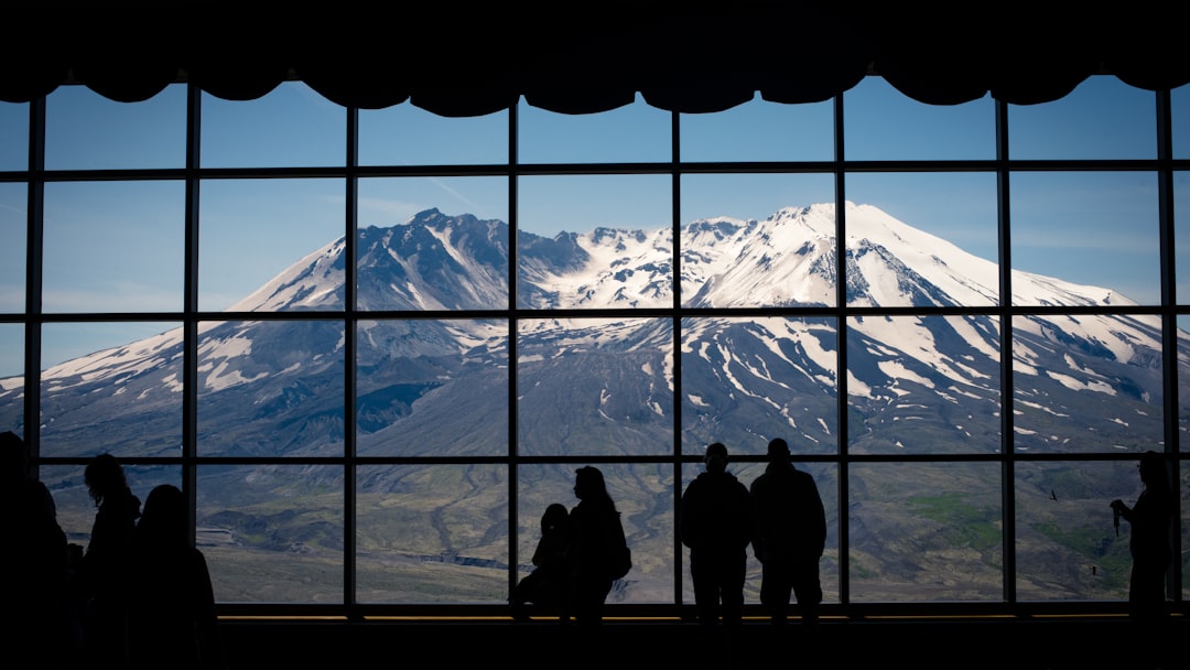
Lost Creek Ridge Trailhead
Ask ThatchGPT
Suggest a local expert to plan my trip
Suggest an unique itinerary for my United States trip
What foods do United States locals eat
What are some true hidden gems in United States
Help me brainstorm trip ideas for United States
Help me plan a family-friendly trip to United States
What people say
少馳 徐
"High point: 5,600 feet
Elevation gain: 3,800 feet
Round-trip distance (to Round Lake): 10 miles
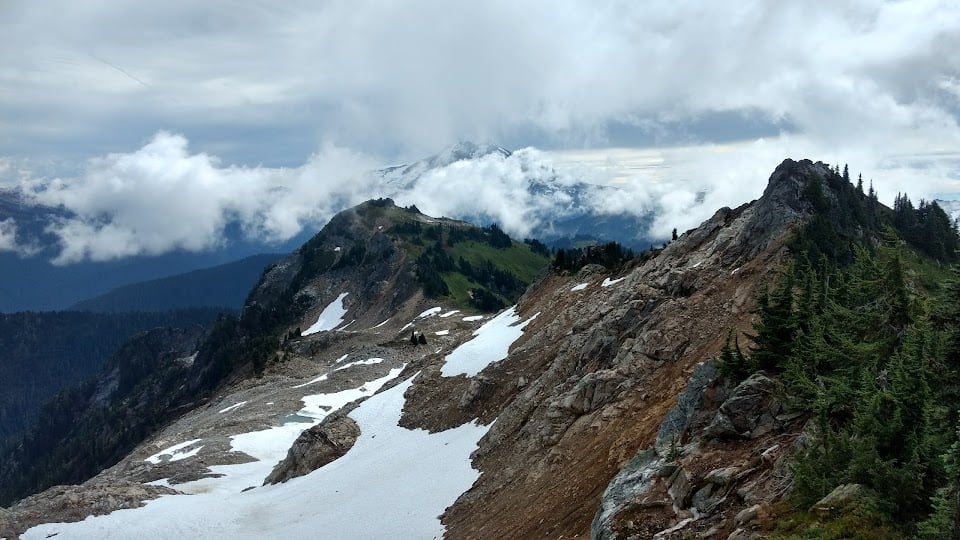
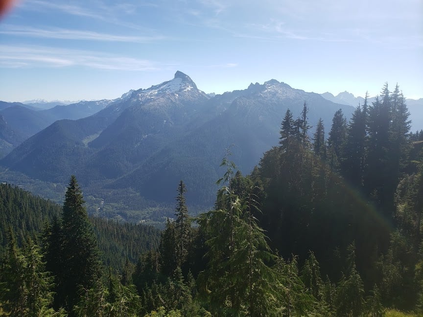
Get lost in the beauty. Lost Creek Ridge is arguably one of the more memorable high-country trails in the Glacier Peak region. It can be a day-hike destination — quite an elevation gain for one day — or an extended backpack trip, depending on how far you want to go. Either way, prepare to climb.
A series of switchbacks over 2,500 feet of vertical gain brings you to Bingley Gap, roughly the 3-mile mark. This is where the fun begins.
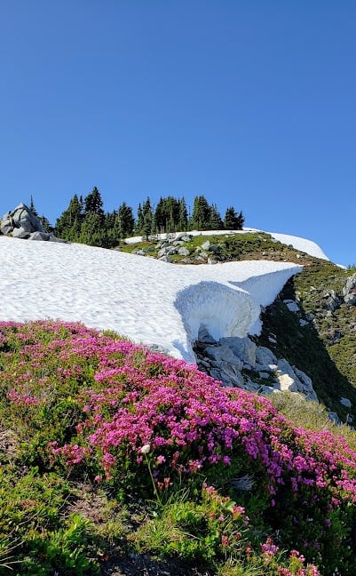
The trail continues along the ridge and through meadows and a 5,600-foot saddle overlooking Round Lake. Day-trippers can stop here for lunch. If you’re looking to camp, it’s a 500-foot descent to the lake.
Beyond, the possibilities are endless. Ridge-runners looking for more adventure will continue to Sunup Lake and Hardtack Lake. The rough, up-and-down trail continues all the way to beautiful Lake Byrne. If you reach this point, you’re looking at a round-trip distance of 24 miles.
"
Read more in:
Mentioned in these guides
About Lost Creek Ridge Trailhead
Get the inside scoop on Lost Creek Ridge Trailhead from local experts, travel creators, and tastemakers. Browse genuine trip notes, Lost Creek Ridge Trailhead reviews, photos, travel guides, and itineraries from real travelers and plan your trip with confidence.
Phone
Save this spot for later or start mapping out a new trip today
Try our AI Travel Assistant and get instant answers to any questions about your trip.
Ask ThatchGPT
