Stampar
Ask ThatchGPT
Suggest a local expert to plan my trip
Suggest an unique itinerary for my Iceland trip
What foods do Iceland locals eat
What are some true hidden gems in Iceland
Help me brainstorm trip ideas for Iceland
Help me plan a family-friendly trip to Iceland
What people say
Leo Scarton
Available for hire
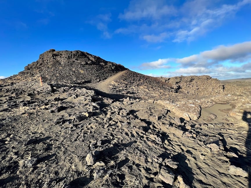
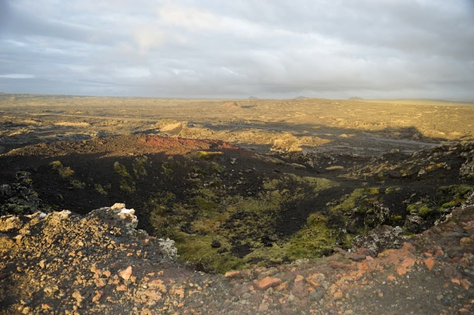
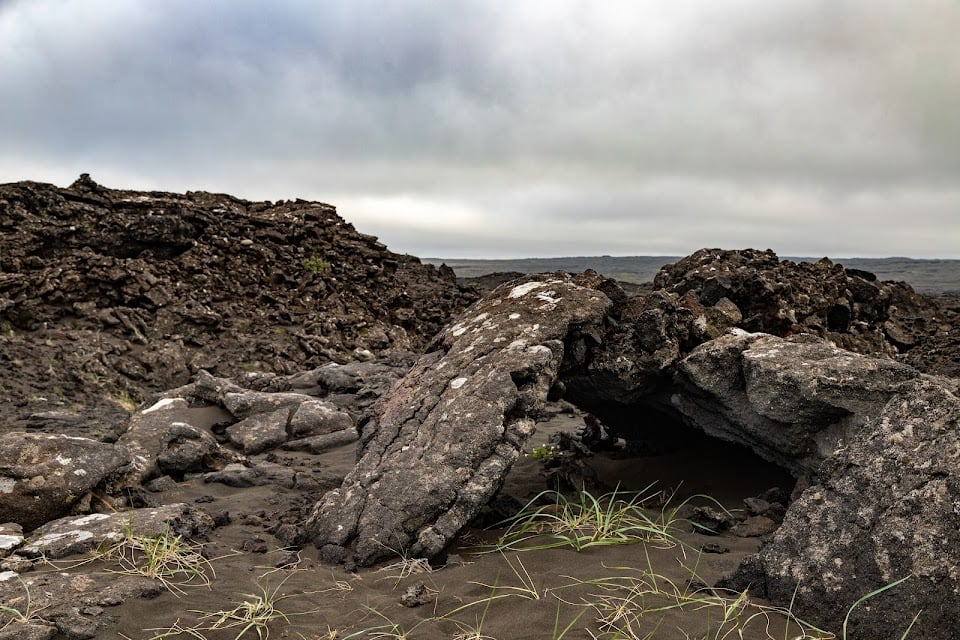
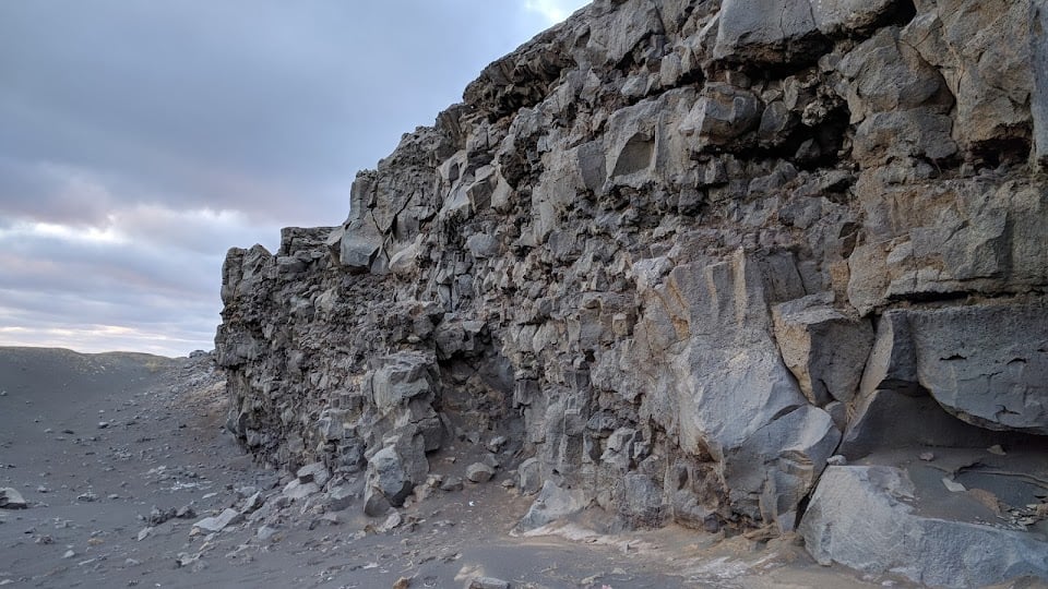
" Two volcanic fissures lie from the sea onto land on the western side of Reykjanes and form a series of craters. These crater series have been named Stampar. The crater series are from two periods. This series lies in the SW-NE direction and follow thereby the most common fissure angle in Reykjanes. The older formed in an eruption from a fissure that was just under 4 km long around 1,800 to 2,000 years ago. The younger Stampar crater series formed in the Reykjanes Fires in 1210-1240. The row of craters is around 4 km, and the area of the lava field they produced is approximately 4.6 km2. The two craters closest to the road, named Stampar, are at the north end of the crater row. Further south in the crater row are other sizeable craters such as Miðahóll hill, Eldborg the deeper and Eldborg the shallower. Fishermen in earlier times used all these craters as points of reference when out at sea. Most of the craters, however, are low-lying scoria cones and not very prominent. It may be noted that during the Reykjanes Fires in 1210-1240, there were four lava flows in the Reykjanes and Svartsengi system, as well as submarine eruptions in the seas off Reykjanes. The Hundred Crater Trail, a signposted trail, lies partly through the Stampar lava field. The trail starts at Valahnúkur in Reykjanes. The trail also passes through the Reykjanes geothermal zone, past slag and scoria cones, the tuff mountain Sýrfell and on to the Stampar craters. From there, the path lies over rough pahoehoe lava and sand dunes, running from the west side of the crater closest to the road, along the row of craters, on to the seaward side of the Reykjanes Power Plant. The craters along the trail are numerous and fragile. Walking up onto the crater nearest the road is permitted. It is important, however, to make sure that sensitive natural formations are not disturbed. Location: Road 425 about 2,5 km north of Rauðhólar, short walk from there"
Read more in:
Mentioned in these guides

About Stampar
Get the inside scoop on Stampar from local experts, travel creators, and tastemakers. Browse genuine trip notes, Stampar reviews, photos, travel guides, and itineraries from real travelers and plan your trip with confidence.
Address

Save this spot for later or start mapping out a new trip today
Try our AI Travel Assistant and get instant answers to any questions about your trip.
Ask ThatchGPT