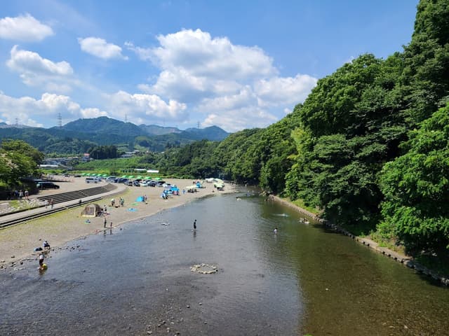
Akigawa Bridge River Park Barbecue Place
@lauramurray
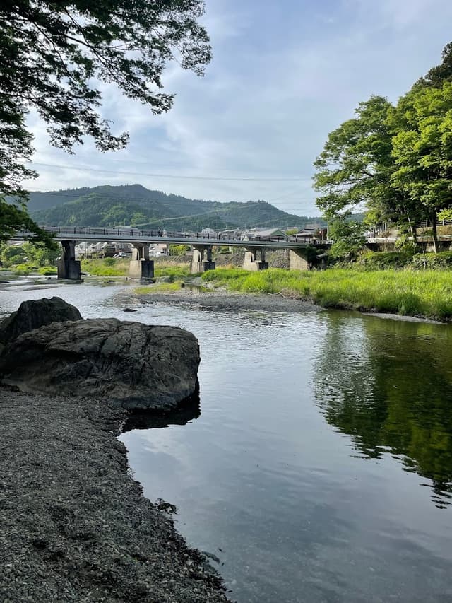
A park that is popular for people to bbq along the water. Swimming is popular in summer. There's apparently a place to rent fishing poles nearby. I can't find on google maps though.

Details
First hike start point
Head to Komine Park. This is about a 20 minute walk on flat roads through the town and fields. Head to the back of the park to find the sign for Kongo Falls. Some of the signs are only in Japanese and some are in both English and Japanese. (金剛の滝) is the Kanji for Kongo Falls.
Komine Park
@lauramurray
Starting point of Kongo falls hike. Follow signs to "Kongo Falls".

Details
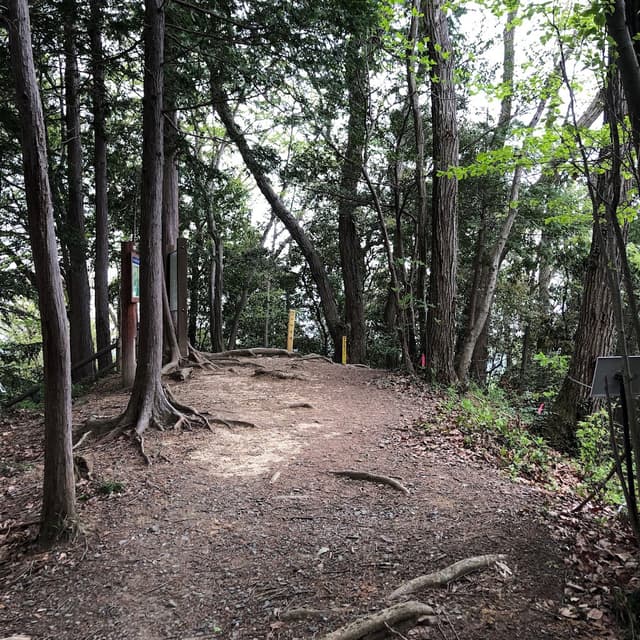
336m峰(小峰公園最高点)
@lauramurray
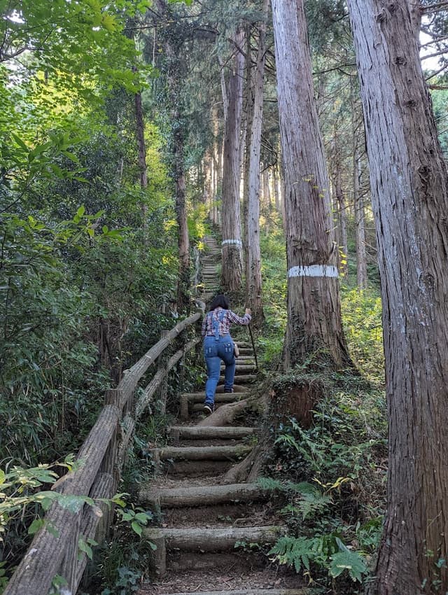
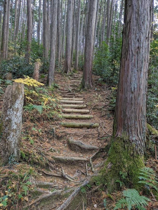
Steep climb with up and down elevation gain. Uneven footing. Follow the signs for "Kongo Falls" then to "Kotokuji".

Details
Kongo Falls
@lauramurray
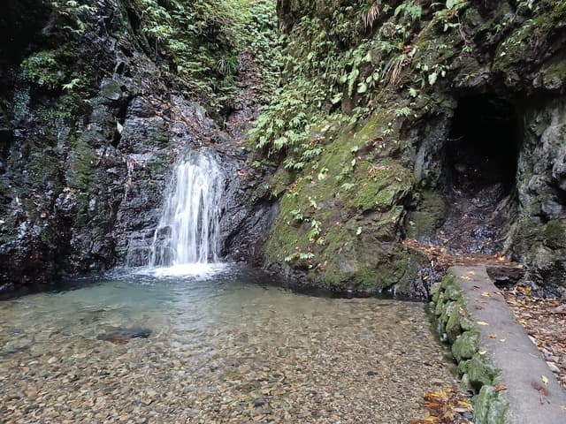
A 30-45 minute hike. Follow the dry river bed to the end, then climb through the short tunnel to get close to the waterfall.

Details
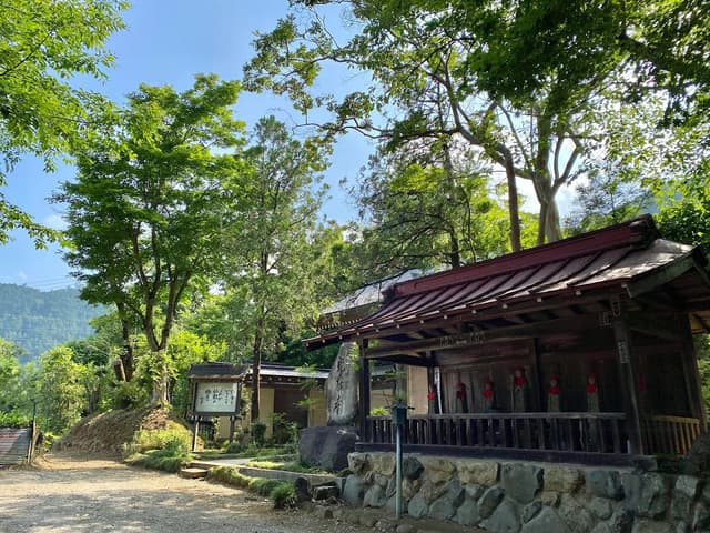
Kotokuji
@lauramurray
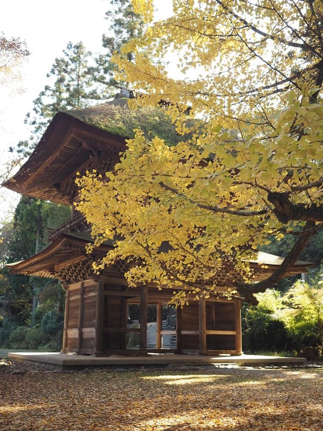
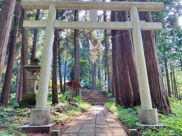
End point of the Kongo Falls Hike. Tranquil temple amongst many different trees.

Details
Kowada Bridge
@lauramurray
Cross the bridge north from Kotokuji and follow the north side of the river west to Sawado Bridge.

Details
Food Options:
About now you would likely be feeling hungry. Below are some options to grab a bite before heading off on the next adventure. There is also my go-to option - konbini (convenience store)! There are multiple konbini's to choose from between here and the next temple. Check google maps for a Family Mart or 7-Eleven.
Kurochaya
@lauramurray
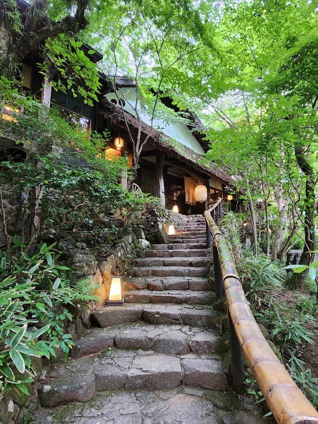
High end dining located in garden tea house villa. Cheapest meal set is 6,600+ yen. There is a café hut and a take out hut in the garden as well. Access down to Aki River is available from the garden.

Details
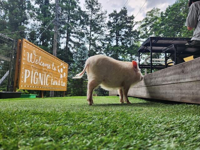
pignic farm&cafe
@lauramurray
Pig petting cafe with pig themed desserts. Customers with reservation are given priority entry. 1000 yen for adults for 30 mins, required to also buy 1 drink.

Details
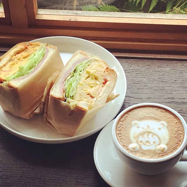
POUND
@lauramurray
Sandwich shop with plant filled interior. Calm homey vibes. No AC.

Details
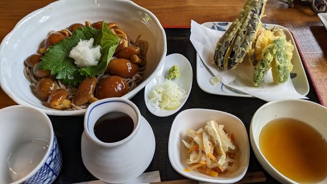
Koharubiyori
@lauramurray
Soba noodle restaurant. Some reviews mention waiting 2+ hrs for food and a stressful environment. Others say it was a very welcoming and calm environment with no wait.

Details
Back to the Adventure!
Now that we're fueled up, let's go on our next big journey. At the back of Kogonji you will find a path that leads up Mt. Shiroyama. This hike can be skipped if you aren't a fan of doing leg day.
Kogonji
@lauramurray
Temple with path that leads up to the Tokura Castle Ruins. Super gnarly cherry trees on the property.

Details
Tokura Castle Ruins
@lauramurray
1 hour round trip hike with amazing view. Very steep. Toilet at stop. Entrance to hike is from Kogonji. Beware bears in area.

Details
Mishima Shrine
@lauramurray
Funny outcropping of trees on top of a hill standing alone.

Details
Snack time
Stop at either of the cafes below for a quick bite/drink and take a break.
VANCOUVER COFFEE 東京
@lauramurray
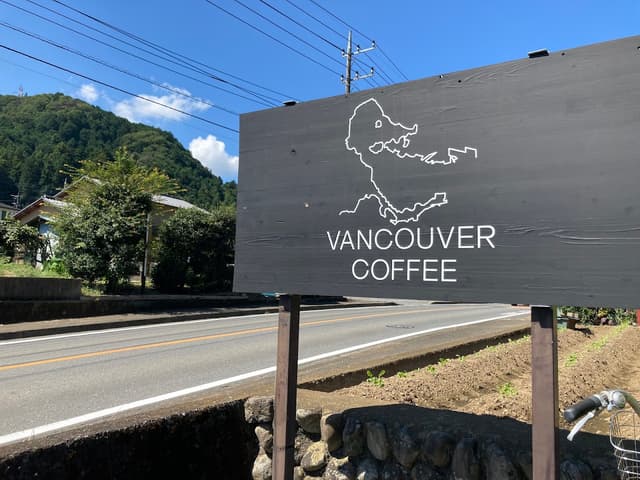
Café with really good coffee and pretty interior. Sign is of Vancouver, BC. TBD - What's the connection?

Details
AKIGAWA BASE アキガワベース
@lauramurray
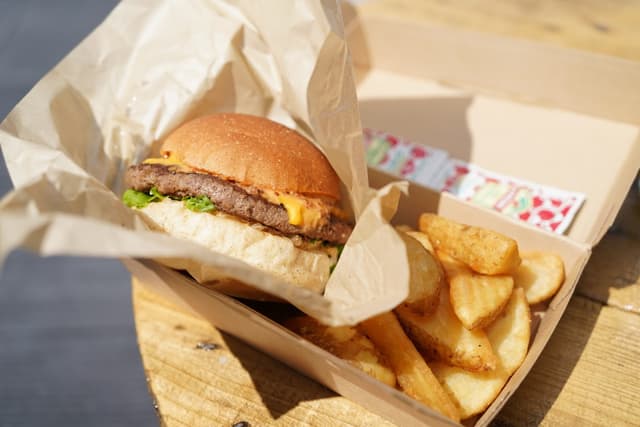
Semi--permanent food truck with nearby seating. Selling burgers, ice cream, soda.

Details
Last stop
Akigawa Valley
@lauramurray
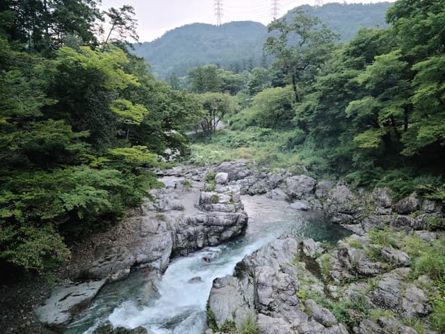
A valley popular for bbq, swimming, and fishing.

Details
Ishibune Bridge
@lauramurray
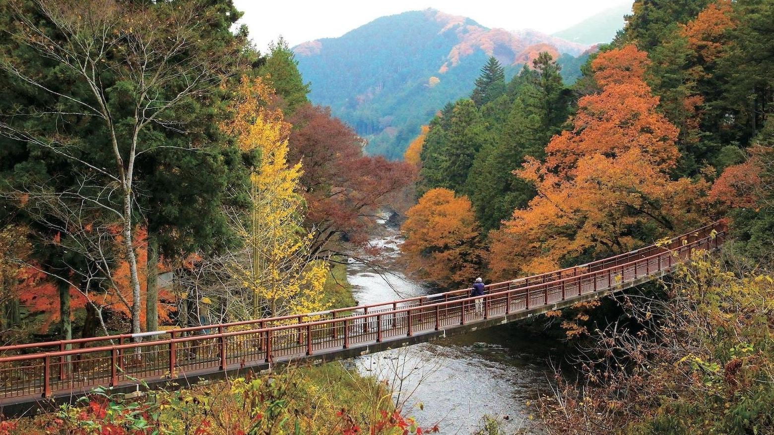
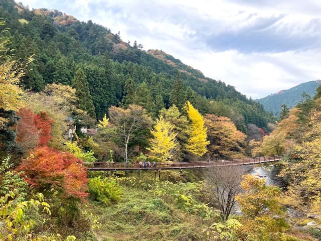
Concrete bridge that looks like a suspension bridge. Great autumn colour.

Details
Seoto-no-yu Foot Bath
@lauramurray
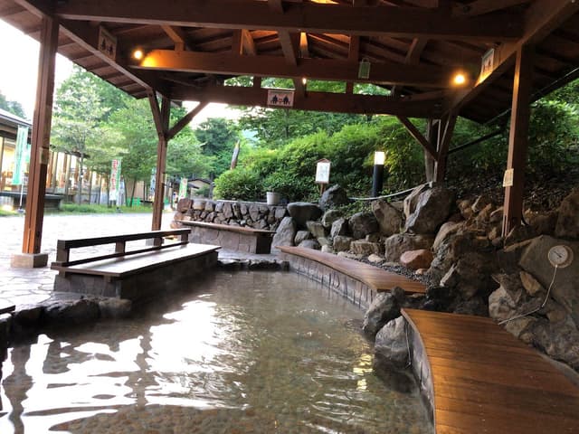
Public foot bath to refresh feet after a long hike!

Details
Seoto-no-yu
@lauramurray
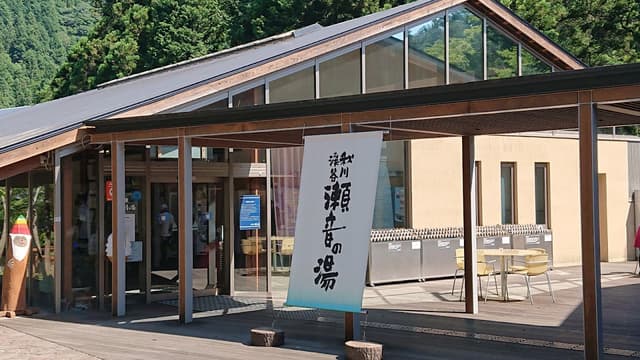
Day spa with a 1,000 yen bathing fee for 3 hours. Tattoos are not allowed. Rental towels available for a fee.

Details
Yamazaki Liquor Shop
@lauramurray
Small taster dishes served with alcohol. Sporadically open for short periods near lunch time.

Details
Head back
To get back to Tokyo, go back towards the Akigawa Base food truck. On the other side of the street there is a bus stop.
Catch the 10, 14, 18, or 52 bus to Musashi-Itsukaichi Station. Take the Itsukaichi Line to Haijima Station and then transfer to Ome Line.
Check google maps directions for accurate bus time tables and fares.
* * *
